-
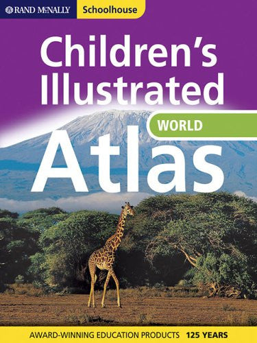
Children's Illustrated Atlas of the World (Rand McNally, Schoolhouse)
Bright Ideas Press
-
$14.00
-
is back-ordered. We will ship it separately in 10 to 15 days.
-
-
Description
Help young readers discover the world! The Children's Illustrated Atlas of the World takes explorers around our world continent-by-continent with beautiful photos, illustrations, up-to-date maps, and lively text about the land, people, and features that make each place unique.
Features include:
- Reference material and maps suited for kids ages 8-12
- Physical, political, and thematic maps (climate, population, and others) of the world and each continent
- Regional spreads showing political maps with current country, state, and province information
- A special index featuring each country's flag and a fact file
- More than 250 eye-catching photos
- World timeline, glossary, and index of major places
- Durable, hardback cover
- 110 pages
)